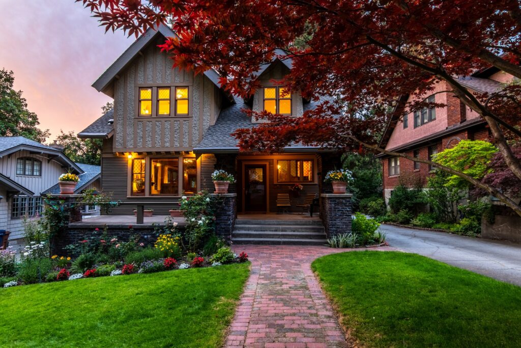
Burbank Outdoor Living
With their ability to capture data from above, drones are able to perform land surveys, photogrammetry, 3D mapping.
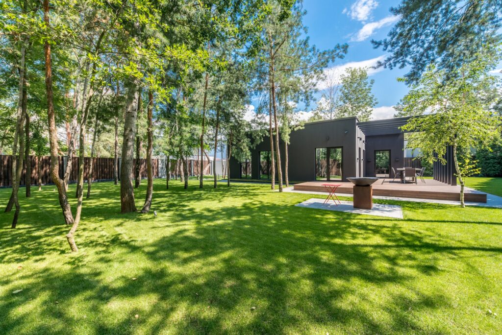
Wooded Denver Terraces
The Community Charter defines highways to include streets, roads, lanes, bridges, viaducts and any other way open to public use.